Track
Fly relaxed, enjoy the flight.
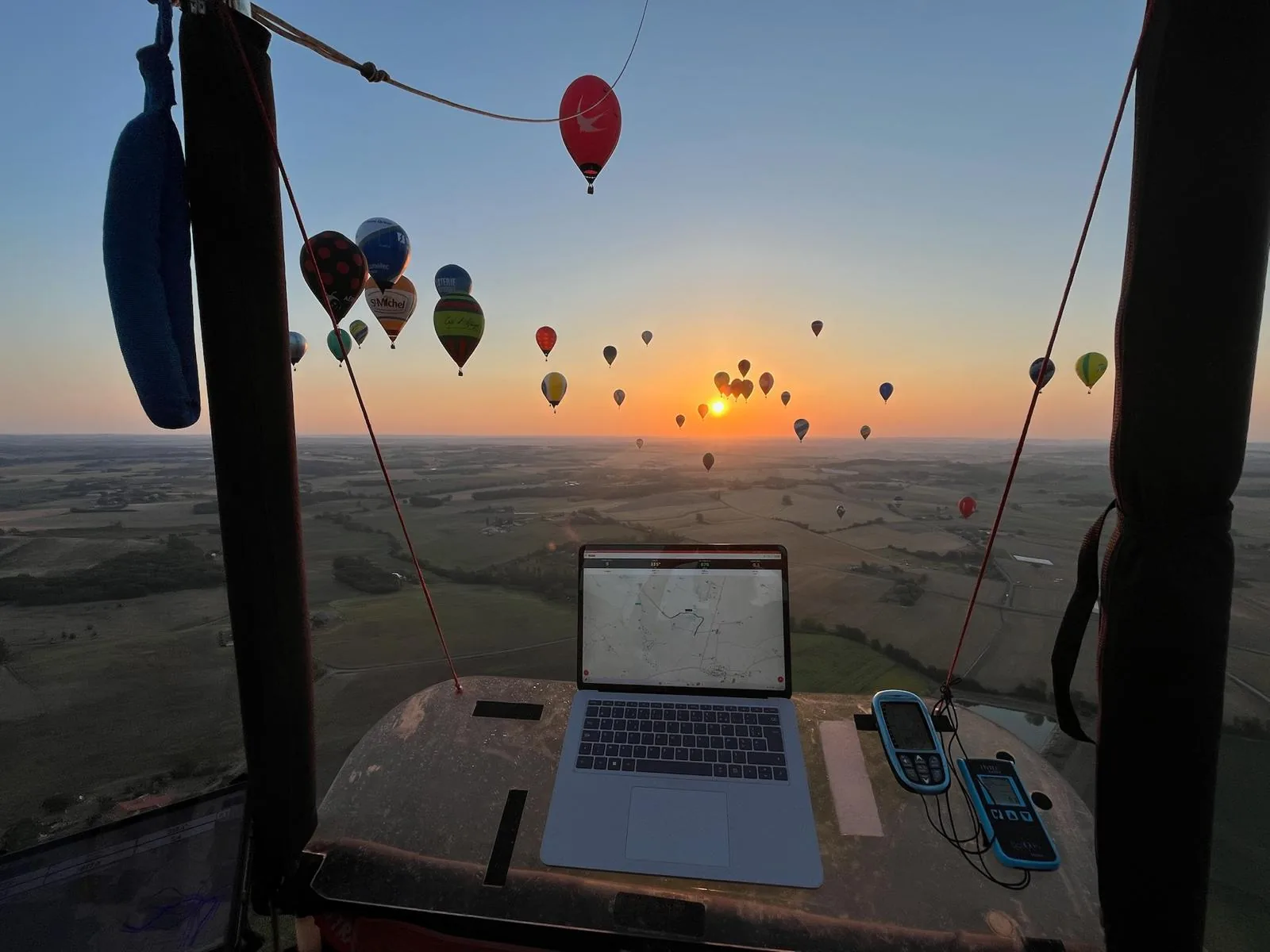
Track brings your instruments, the map and the alerts together on one screen, so you can keep your eyes outside.
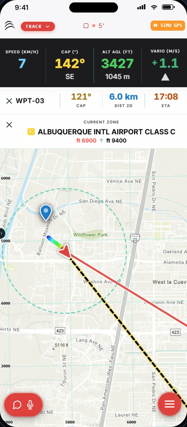
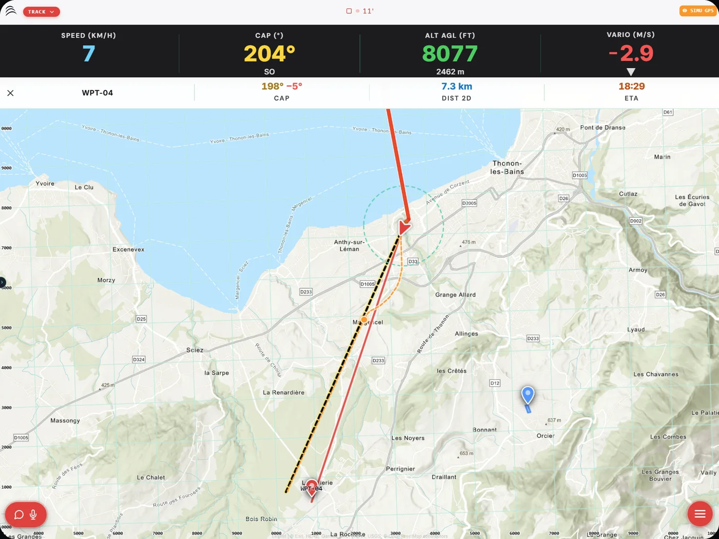
In flight, your instruments on a single screen.
Speed, heading, height above ground and climb rate at the top. The map below, with your track coloured by altitude.
- AGL and AMSL altitude, in metres or feet
- Current airspace, with floor and ceiling
- Track recorded for the whole flight
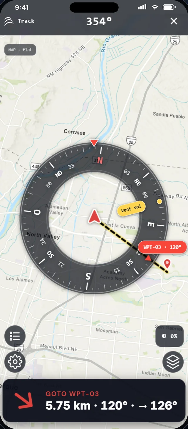
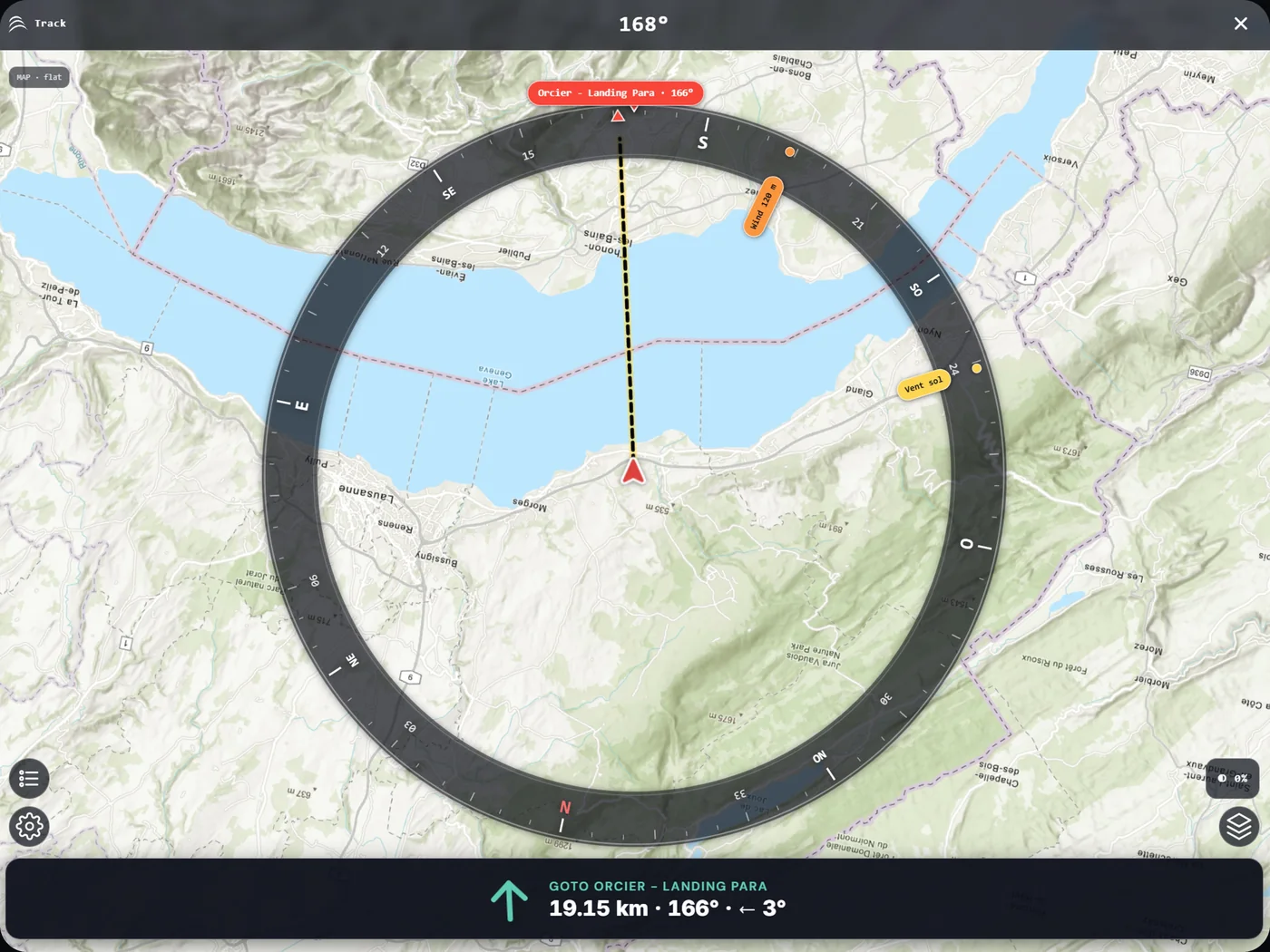
On the launch field, the compass points to your target.
Before inflating, the compass shows the direction of the target, its distance and the surface wind.
- GOTO to a waypoint: heading, distance, arrival time
- Surface wind shown on the rose
- Map background under the compass
The map that shows what matters.
Pick the background that suits the flight, overlay airspace and keep hazards in sight.
- Topo, OpenStreetMap, satellite and aeronautical backgrounds
- Power lines shown on the map
- Power line and airspace alerts
- Waypoints, targets and POIs
All of Track, in detail
- GOTOHeading to fly, distance and estimated arrival time to the target.
- VSRThe ideal climb or descent rate to reach a target altitude.
- Wind measured in flightThe wind met at each altitude feeds the trajectory simulation during the flight.
- Fleet flyingPositions and measured winds shared between the pilots in the area.
- AirspaceClass, floor and ceiling of the zone you are crossing, in plain view.
- GPSWorks with the device's GPS or an external NMEA GPS.
- Your unitsMetres or feet, km/h, knots or m/s.
- From flight to LogbookAt landing, the track and statistics go straight to your logbook.
Free during the beta, no credit card
Ready for take-off?
Join the pilots who made WindXplorer their copilot.